In the video, a researcher’s voice interrupts the stillness with three words: “What is that?” somewhere between the dark blue of deep water and the abrupt appearance of something unthinkable. It’s the type of question that doesn’t anticipate an immediate response. And in this instance, it took some time to find the solution.
Deep within the Papahānaumokuākea Marine National Monument in 2022, the exploration ship Nautilus was silently navigating the Liliʻuokalani Ridge, a volcanic seamount chain located just north of the Hawaiian Islands. The mission was methodical: collect manganese crust samples, record the seafloor, and delve a little deeper into one of the world’s least explored marine environments. The team was stopped cold when they saw something in the camera feed. “The road to Atlantis,” someone said over the radio, was what clearly resembled a road made of yellow bricks that stretched across the summit of Nootka Seamount, more than a thousand meters below the ocean’s surface. “The yellow brick road?” was the response. Next: “This is bizarre.” Then, following a pause that seemed longer than it actually was— “Are you serious? This is absurd.
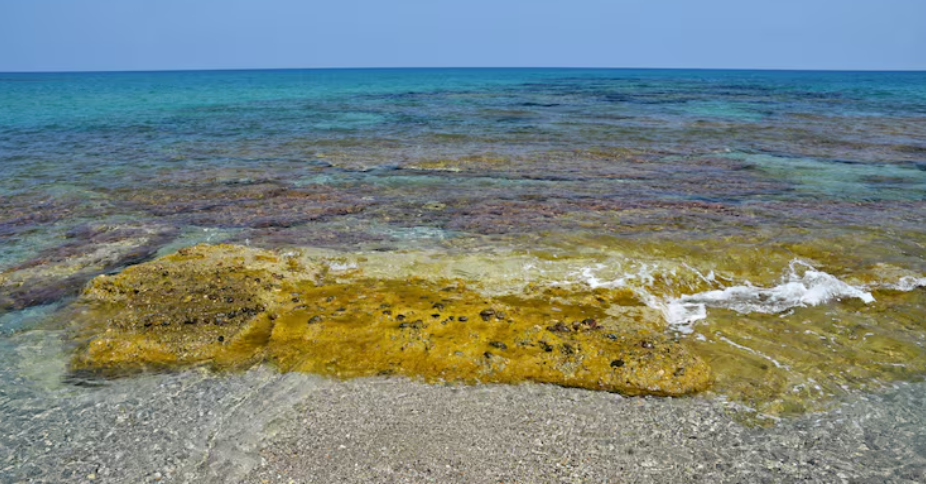
It’s difficult to watch that video without feeling something. It appears that the formation is a path. Along the ridge with a nearly intentional geometry, it is flat and broken into nearly perfect rectangular segments. You would call someone if you happened upon it in a Kansas cornfield. It appeared even stranger here, a thousand meters beneath the Pacific, in part because the surrounding rock looked almost baked and dry, like the surface of a lakebed that had been exposed to the sun for a week instead of being under an ocean.
When scientists solved the puzzle, they discovered that the scientific explanation was based on something exquisitely violent. Hyaloclastite, a volcanic rock created when high-energy underwater eruptions launch fragments into the seafloor, where they settle, compress, and solidify over geological time, is the formation. The fracturing pattern is what distinguishes the Nootka Seamount section. Thousands of years of volcanic activity have repeatedly heated and cooled the rock, leaving behind a grid of 90-degree cracks that give the appearance of bricks. Imagine a well-baked brownie with a cracked surface that has been sitting under a mile of salt water for millennia. Although the analogy seems informal, it is actually quite appropriate.
The scale makes it more difficult to understand what science clearly explains. Researchers estimate that only about 3% of the seafloor of Papahānaumokuākea Marine National Monument has been explored, despite the monument’s area being larger than all of the U.S. national parks put together. 3 percent. Since the 2022 Nautilus expedition was the first to survey this particular seamount region, the yellow brick road has remained undisturbed throughout all of recorded human history.
Ocean exploration seems to have a peculiar place in the public’s mind; it’s less immediate than climate, less glamorous than space, and somehow easier to ignore. However, findings such as this one tend to subtly erode that apathy. In 67 years of documented deep-sea diving, humans have visually explored between 0.0006 and 0.001 percent of the deep seafloor, according to a 2025 study from the Ocean Discovery League and Scripps Institution of Oceanography. The area represented by that upper estimate is only marginally bigger than Rhode Island. To put things in perspective, the ocean makes up roughly 71% of the planet’s surface.
The yellow brick road at the bottom of the Pacific isn’t magical, it’s not built in antiquity, and it’s not a route to a legendary location. Volcanic geology is doing what geology does: it is shifting, cracking, and creating patterns that the human brain automatically interprets as deliberate. However, it also serves as a reminder that the planet is adept at keeping secrets, and that the next weird thing is probably already down there, waiting to be discovered by a camera.