Around 9:15 on Sunday night, the text message arrived—the kind of warning that causes people in this region of the nation to set down their forks and move in the direction of a window. Northwest of Beresford, a small town in Lincoln County that most outsiders couldn’t locate on a map, a massive and extremely dangerous tornado was on the ground. Leola basements were flooding by 9:40. In the interim, the KELOLAND Storm Center emerged as South Dakota’s most significant screen for a few hours.
On the northern plains, severe weather coverage follows a certain pattern, and it’s difficult to ignore how at ease the meteorologists at KELOLAND appear to be within it. Locals refer to names like Brian Karstens, Scot Mundt, Adam Rutt, Jaelyn Borresen, and Jay Trobec with the same familiarity as they would a neighbor. As you watched the broadcasts on Sunday night, you got the impression that the team had done this numerous times before, moving back and forth between counties without ever raising their voices while conversing through ping-pong-ball hail in Plymouth County and 60 mph wind gusts in Brown. The serenity is practically the point.
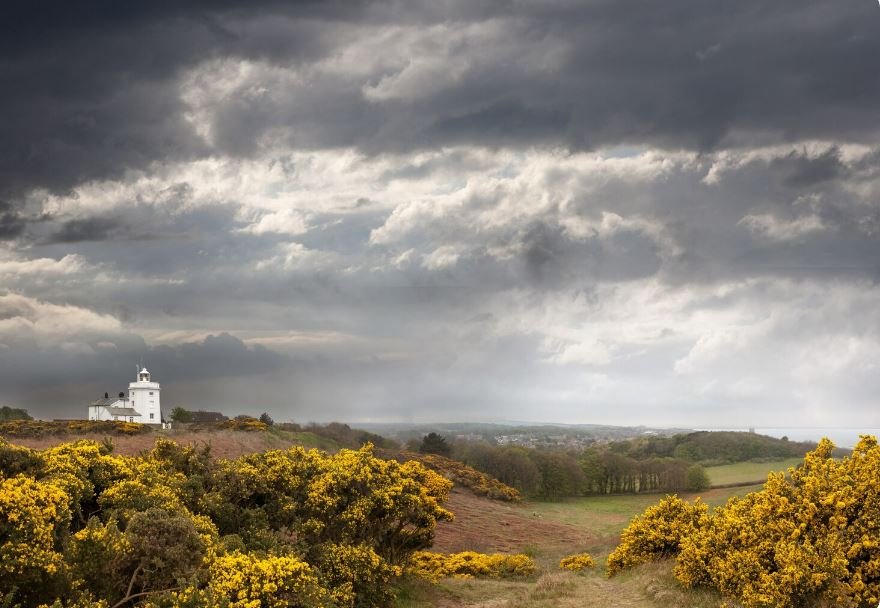
The number of warnings that piled up at once was the main reason this past weekend was unusual. Union and Clay counties are under a tornado warning. Lincoln and Turner are under a tornado warning due to a particularly dangerous situation. Brown is under a severe thunderstorm warning. a flood warning that was extended until Monday morning. The radar map resembled a list of issues that needed to be resolved rather than a forecast. Nevertheless, the tone of the morning briefings was measured in the hours preceding it. Karstens had shown viewers a moisture image that showed the soil drained by a hot stretch that reached upper 80s and lower 90s, with most of KELOLAND operating below average over the previous 30 days. He said it was going to rain, but the placement felt off. Instead of providing guarantees, the European AI model offered hints.
that hedging is more important than most people think. Overselling precision is tempting, particularly when it comes to television weather. KELOLAND usually doesn’t. It sounds like someone is attempting to be truthful with an audience that has been burned by overconfident forecasts in the past when they discuss pockets of two to three inches, acknowledge that some viewers would be completely missed, and discuss how the rain is patchy and segmented. Those misses are not forgotten by farmers. Parents aren’t organizing cookouts for Memorial Day weekend either.
People from the coast are surprised by the cultural significance of weather coverage here. The forecast is not a lifestyle accessory in Sioux Falls, Aberdeen, and the smaller towns dispersed throughout the Missouri River basin. Infrastructure is what it is. For a regional broadcast, the KELOLAND Weather Facebook page has an impressive 74,000 followers. Comments on Sunday’s flood warning post read more like front-porch appreciation than online chatter. Orville Wiebers, one commenter, merely expressed gratitude for keeping us informed about the weather. In one sentence, that sums up the relationship.
In areas where cell service ends close to the gravel roads and the next county is forty minutes away, it’s possible that the general public underestimates the importance of regional television. Generic alerts are pushed by national apps. Local meteorologists are aware of which school district will cancel buses before anyone else, which town is in a low spot, and which highway floods first. That information is not algorithmic. It has accumulated.
Soaked basements and a forecast of cooler temperatures in the 50s and 60s were left behind when the storms moved east and the sun came back on Monday morning. The work continues. Observing all of this from a distance gives me the impression that KELOLAND employees have a basic understanding of their work. The weather will continue to arrive. Being prepared when it does is the least they can do.