There is nothing noteworthy about the road into Pocasset, Massachusetts. The smell of salt air off Buzzards Bay, a strip of peaceful business buildings, and the leisurely pace of Cape Cod throughout the year are all present. However, a group of scientists and engineers working in a specially constructed manufacturing facility on Jonathan Bourne Drive has spent more than thirty years creating the tools that enable the world to truly see what’s going on in the ocean.
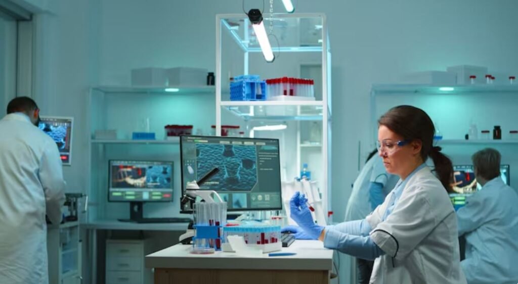
When Falmouth Scientific, Inc. was established in 1989, real-time ocean data collection was mostly theoretical for the majority of the world’s seas. In oceanographic circles, this company is simply referred to as FSI. Since then, the company’s team, which consists of engineers, production experts, and quality assurance specialists, has been discreetly creating acoustic systems and precision marine sensors. Their products measure currents, waves, tides, and the type of sub-bottom geological data that offshore wind developers and oil and gas surveyors require before putting anything in the water. They work in everything from shallow estuaries to the oppressive darkness of full ocean depths. It’s a methodical, unglamorous job. And it is very important.
It’s important to comprehend the gap that FSI’s lab is attempting to fill. Researchers at the Integrated Carbon Observation System in Europe estimate that only about 3% of the ocean is currently covered by direct ocean observations. 3 percent. The remainder is modeled, deduced, and extrapolated—scientific conjecture presented in a striking computational vocabulary. For generations, scientists have relied on fixed moorings and commercial ships, which only go where ships go and where someone has the funds to anchor something. As a result, large areas of the deep ocean are essentially unmeasurable. Although the models appear to cover everything, the actual coverage is much more limited.
This is the issue with how FSI’s sensors operate. Depending on how far away the deployment site is, the company’s ACM-PLUS acoustic current meters, which come in ratings of 300 or 7,000 meters, are made to either log internally or gather data in real time. By producing acoustic pulses for sediment profiling, the HMS-620 AquaPulse series creates high-resolution images of the seafloor. The acoustic range required for sonar, communications, and sub-bottom profiling is provided by transducers with frequencies ranging from less than 100 Hz to more than 500 kHz. It is not an idealized representation of the ocean, but rather a product portfolio designed for the real ocean.
The goals that FSI has long pursued are now shared by the larger scientific community. The first autonomous sensor in the world that can precisely measure total alkalinity, a crucial chemical indicator for determining how much CO2 seawater can absorb, from the seafloor to the surface is presently being developed by researchers funded by the European Union. Scientists at the National Oceanography Centre in the United Kingdom have developed a small lab-on-a-chip sensor that conducts a tiny chemistry experiment within the device: a sample of seawater mixed with acid, a dye that changes color with acidity, and a light sensor that detects the color shift. Recently, the device was tested in the North Atlantic at a depth of almost 5,000 meters. It still seems a little surprising that it worked at all.
Separately, a research team at the University of Miami has discovered methods to extract chemical signals that were previously undetectable, specifically nitrite and thiosulfate, from UV spectra gathered by sensors on robotic floats that continuously drift through the world’s oceans. They discovered that nitrogen cycling in low-oxygen zones is much more dynamic than previously thought. It turns out that the chemistry of the ocean is not a static background condition. It responds, shifts, and changes in ways that can only be measured continuously. According to one researcher, traditional ship-based sampling only displays isolated points in space and time. That’s similar to attempting to comprehend traffic patterns once a year by spending twenty minutes standing on a corner.
With eighteen representatives worldwide, a dedicated service center in Brazil, and leasing agents in the US, Europe, and India, FSI serves a global clientele. The wall’s ISO 9001:2015 certification is more than just bureaucratic ornamentation; it represents the level of accuracy and consistency required by ocean science. At 4,000 meters, a sensor that drifts out of calibration is worse than having no sensor at all because the data it generates appears reliable until it is compared to actual data.
Observing how this field is evolving gives me the impression that ocean science will look very different in ten years. The sensors are becoming more chemically advanced, deeper, more affordable, and smaller. Underwater landers and autonomous floats are expanding observations into areas that ships have never been able to reach.
Approximately one-third of all CO2 produced by humans is absorbed by the ocean annually; this function is so important that its loss or slowdown would alter global climate projections. It takes precisely the kind of precision instrumentation that businesses like FSI have been developing in relative obscurity for 35 years in order to comprehend that process well enough to track it. Whether sensor development will keep up with the rate of change in the ocean itself is still up in the air. However, those working on it in labs on Cape Cod and research facilities in the US and Europe aren’t waiting to find out.