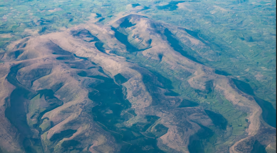
When a weather satellite silently drifted in geostationary orbit over the Western Hemisphere early on June 2, it detected something that caused meteorologists to pause mid-scroll. Houston was covered in long, narrow cloud bands that did not follow rivers or topographical features in the image taken by NOAA’s GOES East satellite, formerly known as GOES-19. They were traveling along the roads.
Many of the drivers under that sky might not have known what was developing above them. On a typical weekday, commuters in Houston were moving slowly along I-10, crossing the 610 Loop, and merging onto US-59. Additionally, the concrete they were sitting on was subtly changing the mood somewhere above.
Almost immediately, the cloud formations gained an unofficial moniker: interstate-induced clouds. The fact that meteorologists, who are usually exacting and cautious with language, chose that phrase nonetheless reveals something about how peculiar the imagery was. This surprised people even in a city that frequently experiences extreme weather, such as tornadoes, flash floods, and hurricanes that make landfall.
The Urban Heat Island effect, a phenomenon that anyone who has walked barefoot on summer asphalt already understands intuitively, is at the heart of the working explanation. Southeast Houston’s extensive network of pavement and concrete warmed considerably more quickly than the nearby fields and bayous as the Texas sun rose over the city that morning. The air was forced upward by that heat. The rising air cooled and lost moisture as it ascended, condensing into the droplets that eventually turned into discernible cloud bands. Along their entire length, the highways drew columns of warm air skyward, functioning as invisible chimneys.
This explanation was cautiously provided by NOAA’s National Weather Service experts, who made it clear that the precise mechanics have not yet been thoroughly verified. The most intriguing aspect of this situation is probably that there is still some genuine uncertainty. We have a compelling mechanism, an eye-catching image, and an unresolved research gap in between. There are many of those gaps in science. They don’t take very good pictures most of the time.
GOES-19 continuously scans a vast portion of the planet while in geostationary orbit, which keeps it locked above a fixed point on the equator while the Earth rotates beneath it. Its instruments are advanced enough to follow the rotation signatures of inland tornadoes and the spiral arms of Atlantic hurricanes. It turns out that they are also sensitive enough to detect the subtle thermal fingerprint of a Harris County, Texas, freeway interchange. That range, which includes cloud wisps tracing an on-ramp and Category 5 storms, demonstrates how far atmospheric observation technology has advanced.
Observing this from the outside, there’s a sense that the picture speaks to more than just the novelty of the weather. Cities clearly alter the landscape by leveling hills, rerouting streams, and replacing prairie with asphalt. However, altering the sky? That is more difficult to visualize, demonstrate, and observe. Until, it seems, you have a satellite in precisely the right location on precisely the right morning.
Whether similar patterns recur over other highway-dense cities will likely determine whether this becomes a formally documented meteorological event or stays an intriguing outlier. Chicago. Los Angeles. Atlanta. They all produce the same concentrated corridors of sun-baked pavement and the same type of urban heat. Whether the June 2 conditions were uncommon enough to be a one-off or frequent enough that satellites have just been searching elsewhere is still up for debate. In any case, it might be worthwhile to look up the next time you’re stuck in traffic in Houston under a foggy morning sky.