

Summers in Texas rarely require additional assistance to be dramatic. This one, though, has been different. Before anyone had a chance to dry out, Tropical Storm Bertha was churning across the northern Gulf, causing the state to go from devastating flooding to dangerous heat in a matter of weeks. Additionally, a more significant narrative has been subtly developing in the Pacific, which climate scientists believe has the potential to shape the coming months.
El Niño has arrived. And it might be becoming much more powerful. When sea surface temperatures in the eastern and central equatorial Pacific are higher than normal, a pattern emerges. Measured in fractions of a degree above a long-term average, this shift modifies atmospheric circulation in ways that have global repercussions.
Forecasters have been referring to the current trajectory as a “super” El Niño, which occurs when temperatures in a critical Pacific monitoring zone rise by about two degrees Celsius above average. According to NOAA, there is an 81% chance that the current event will cross that threshold between October and December. It has a 97% chance of continuing into early spring 2027. These are not insignificant figures.
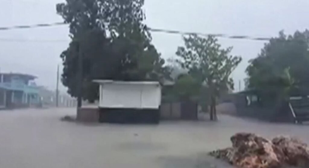
The historical pattern linked to strong El Niño years indicates that fall and winter will be colder and wetter in South and Central Texas. More storm systems are directed across the area as the southern branch of the jet stream tends to push further south. El Niño offers a chance to reservoirs that have been depleted and aquifers that have endured years of abuse due to drought and overuse. That is really helpful. However, flood risks are increased by frequent storms with high rainfall, particularly in areas where the ground is already saturated or where drainage infrastructure hasn’t kept up with population growth.
It’s important to remember that North Texas has its own relationship with this pattern and doesn’t always adhere to the southern model. In a state this size, the weather is rarely a single, consistent narrative. El Niño does not write the calendar, but it does tilt the odds and change probabilities. In previous decades, strong events have occasionally failed to produce the expected conditions in some areas while providing far more than forecasters had predicted in other areas.
The background noise is what makes this specific moment feel different, at least to climate scientists who are paying attention. The current temperature of the atmosphere is higher than it was previously, and a warmer atmosphere retains more moisture. This implies that storms typically carry more of it when they do arrive. Flooding incidents that were once considered serious can occasionally become catastrophic. The larger pattern is no longer subtle, but no single storm can be solely attributed to climate change—attribution science is more cautious and intricate than that.
Additionally, El Niño usually increases wind shear over the Atlantic, which makes it more difficult for tropical systems to organize and intensify. This is a more subtle benefit that is sometimes missed in the coverage of possible flooding and heat swings. A less active hurricane season is a big deal for coastal Texas. That portion of the forecast is truly welcome after the kind of summer the Gulf Coast has already experienced.
However, it’s probably safe to say that Texans have a complex relationship with accurate weather forecasts. Some who experienced earlier El Niño cycles recall times when forecasters promised drought relief, only to deliver more of the same. It makes sense that seasonal outlooks are not always reliable. The monitoring is now more accurate, and the science is better. However, certainty is still unattainable.
The fact that the upcoming months won’t be quiet is fairly obvious. Texas, which is sandwiched between the Gulf, the desert, and the southern jet stream, is directly in the path of whatever the Pacific is doing, which is something it rarely does this intensely.
