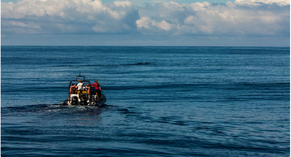
On Skidaway Island, which is located just southeast of Savannah, there is a section of salt marsh where the water no longer behaves as it once did. Now, the tides move a bit further inland. After storms, the mud smells different. For years, researchers at the Skidaway Institute of Oceanography have been observing this gradual change, measuring it, cataloging it, debating its implications, and increasingly attempting to draw the attention of those who draft coastal policy in the American South.
So far, the story is not dramatic. However, that is practically the point. From the Georgia barrier islands to the Louisiana bayous, the changes occurring along the Southern coastline are frequently too subtle to make the evening news and too significant to overlook. Located at that awkward intersection, the Skidaway Institute of Oceanography does the kind of meticulous, methodical work that doesn’t make headlines but significantly influences what happens when the next big storm hits land.
| Category | Details |
|---|---|
| Institution Name | Skidaway Institute of Oceanography |
| Established | 1967 |
| Location | Skidaway Island, Savannah, Georgia, USA |
| Parent Organization | University of Georgia (UGA) |
| Research Focus | Coastal oceanography, marine ecosystems, water quality, sea-level rise, tidal dynamics |
| Primary Service Area | U.S. South Atlantic and Gulf Coast regions |
| Affiliated Network | NOAA Sea Grant Program |
| Key Research Areas | Flood risk modeling, estuarine chemistry, sediment transport, fisheries ecology |
| Policy Relevance | Informs coastal zoning, floodplain management, and climate adaptation planning across the South |
| Public Outreach | Offers community education, stakeholder engagement, and regional resilience workshops |
| Staff & Researchers | Marine biologists, physical oceanographers, coastal geologists, policy liaisons |
| Notable Tools | Real-time water quality monitoring systems, tidal gauge networks, sediment modeling platforms |
| Further Reading | University of Georgia Marine Sciences |
Researchers at the institute study tidal dynamics, sediment movement, estuarine systems, and water quality—the unglamorous mechanisms that decide whether a coastal community floods or holds. The scope of what’s coming makes their work especially pertinent at this time. Due to a combination of ocean warming, land subsidence, and changing ocean currents, sea levels along the South Atlantic coast of the United States are rising more quickly than the global average. Communities that were constructed with a particular level of risk tolerance are discovering that the calculations are no longer valid. Long before the majority of local governments were prepared to hear those figures, the Skidaway team was working on them.
Speaking with those who follow coastal science in this area gives me the impression that the institute’s research is beginning to take a different turn than it did five or ten years ago. Hurricane seasons have the power to alter people’s opinions.
Local planners, some of whom had opposed updating flood maps and zoning codes, are now more inclined to sit down and examine the data after the 2024 storm season severely damaged portions of the Gulf Coast. The data has been there all along, so that change is significant. The conversation’s urgency has changed.
Although the idea of reducing flood risk along coastal built environments is not new, its effective local implementation necessitates site-specific data that most communities are unable to produce on their own. At this point, organizations like Skidaway become subtly crucial. Their monitoring networks offer the precise, up-to-date data on water behavior that floodplain managers genuinely require—not just general regional forecasts, but the kind of information that enables a county engineer to make decisions about drainage system redesign or berm placement.
Their contributions to the policy debate may have been underappreciated because they are not presented as political recommendations. Here, scientists typically provide data and let others make their own judgments. When the situation seems to demand urgency, that approach may feel annoyingly restrained.
The complexity of the Southern coastal challenge is truly remarkable. The Southeast coast is facing a different combination of pressures than some parts of the Pacific Northwest, where natural management opportunities are provided by dam removals and sediment transport. These pressures include heavy development along barrier islands, a sizable portion of the population living in low-lying areas, and a political culture that has historically been skeptical of land-use restrictions. Although the Skidaway researchers don’t directly address those arguments, their research on tidal flooding, marsh health, and sediment dynamics provides policymakers with the information they need to have open discussions about risk.
The speed at which that research will result in regional policy changes is still unknown. The economic pressure to continue developing near the water is real and will not go away, but southern coastal states move at their own pace on these issues. However, the science being produced on Skidaway Island is growing year after year, creating a body of evidence that gets more difficult to ignore with every storm season. Observing this development gives the impression that the institute is creating something significant, not only for Georgia but for all communities south of the Mason-Dixon Line attempting to deal with a shifting coastline.