

Observing snow accumulate on a flowering tree causes a certain kind of dissonance. Wet snow bent the branches of trees that had just begun to bloom in Fort Collins, Colorado, during the first week of May. The scene felt more like nature forgetting the month than late winter. Not in January, but in the spring, when most people had already switched their scraper for sunscreen, that storm dropped 5.8 inches of snow on Denver, the city’s second-largest snowfall of the entire winter.
It wasn’t an anomaly. Strangely, it was the second act of a season that managed to save itself.
Wyoming and Colorado had endured months of what AccuWeather bluntly called a “snow drought.” Denver had only received 27.5 inches of snow since early October going into May, which was only 57% of its historical average. Less than thirty percent of the normal seasonal snowfall had fallen on the mountains close to Aspen. Since October 1, Cheyenne, Wyoming, has only received 16.6 inches, or about 28% of its historical average. Not only were the numbers low. They were the kind of low that causes anxiety in water managers, and in March, wildfire forecasters begin to update their maps.
Then May showed up, seemingly determined to make up for everything at once. There were isolated 30-inch totals near Estes Park and the Medicine Bow Range in Wyoming as a result of the storm that passed through during the first week of the month. Shortly after, there was a second major system that tracked farther north and targeted higher elevations. This system brought another round of heavy, clingy snow to the Bighorn and Teton ranges, with gusts of 35 to 55 miles per hour at exposed passes and 6 to 12 inches expected at elevation. At elevations close to 11,000 feet, the I-70 corridor near the Eisenhower Tunnel has earned its reputation once more.
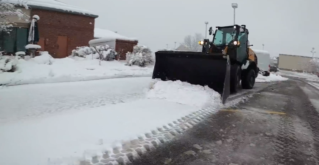
It’s difficult to avoid feeling a little confused about it all. The area actually needed the moisture, on the one hand. The amount of snowfall in Colorado and Utah over the last six months was only 25 to 50 percent of historical averages, and the western United States’ drought map was painted in deep red as summer approached. Any precipitation was considered progress, whether it was rain, snow, or heavy dew. However, forecasters meticulously describe the unique characteristics of late-season Rocky Mountain snow: it is heavy, clinging, and wet. Power lines collapse. Tree limbs break. Every year, drivers are caught off guard by a problem where roads that appear to be merely wet refreeze hard after dark.
The timing was problematic in and of itself. For mountain towns in both states, Memorial Day weekend is one of the busiest driving times of the year. Rocky Mountain National Park’s Trail Ridge Road, which usually reopens in late May, continued to be erratic and dependent on the weather. Just as families were packing their cars for camping trips and ski towns were shifting to their summer identities, the well-known list of dangerous passes—Berthoud, Vail, Rabbit Ears, Kenosha—was once again being discussed. The second significant spring trough of the month may have seemed to some travelers like the mountains just wouldn’t let go.
It’s still genuinely unclear if the late snowfall will be sufficient to significantly offset the season’s water deficit. The North American monsoon may help later in the summer, but it probably won’t completely close the gap, according to AccuWeather. There is still a drought. It was just abruptly and dramatically interrupted by a spring that decided to appear at the last minute.
