The fact that the organization in charge of hurricane forecasts and fisheries management is also, inadvertently, one of the key players in maintaining the operation of America’s commercial shipping lanes seems almost paradoxical. However, that surprise quickly fades when you look at what NOAA’s unmanned systems actually accomplish.
The majority of people view ocean data in the same way that they view weather data: as something hazily occurring in the background that is only important during a storm. The reality is much more complex. Every time a container ship carrying electronics, apparel, or food makes its way into a coastal port, it is depending on data that was collected, stored, and made accessible by systems that the majority of passengers on a nearby cruise ship have never even considered.
At the heart of this effort is NOAA’s National Centers for Environmental Information, which operate under the agency’s satellite and data division, NESDIS. The shipping industry, researchers, and decision-makers can access the data that NCEI gathers, organizes, and disseminates from uncrewed systems, which are autonomous vehicles operating on and below the water’s surface. For work that actually matters, it’s a rather unglamorous description. Every day, the information these devices gather influences supply chain logistics, safety evaluations, and routing choices throughout the nation’s waterways.
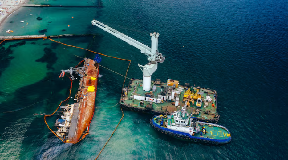
Bathymetry, which is basically a thorough mapping of the seafloor, is one of the more important tasks. Unmanned vehicles use sophisticated sonar systems to scan underwater terrain and create high-resolution charts that show what’s beneath the surface. underwater wrecks. Sandbars are being moved. underwater canyons that were just absent from previous charts. This information isn’t academic for big commercial ships that operate in shallow coastal ports; a grounding incident can cost millions of dollars, delay vital cargo, and even endanger lives under some circumstances. In this way, updated nautical charts created using new bathymetric data are a type of preventive infrastructure that is rarely discussed like roads or bridges.
Even though this work has an impact on daily life, it’s difficult to ignore how much of it goes unnoticed. Vessel route planning is directly influenced by the ocean current data collected by unmanned systems, which track water temperature, salinity, speed, and direction. Retailers, grocery chains, and manufacturers rely on supply chain reliability, and a cargo ship that can ride a favorable current instead of fighting an opposing one saves fuel and arrives on time. Considering the difficulty of gathering it, NCEI’s near-real-time availability of much of this is still astounding.
Observing all of this, it seems as though NOAA has been creating something significant without fully receiving recognition for it. The uncrewed systems program is one of the more useful manifestations of the agency’s mission to expand ocean and coastal observations. Unlike next-generation satellites, autonomous gliders that drift at depth and saildrones that cut across open water aren’t particularly impressive technologies, but they’re filling gaps that crewed vessels just can’t cover consistently or economically.
It is genuinely unclear if NOAA will be able to sustain this momentum in the face of budgetary constraints and changing political priorities. There is the infrastructure. The pipeline for data is operational. It is obviously essential to the maritime sector. The question of whether that quiet dependability translates into the institutional support the program will require in the future is another, and it most likely merits greater public attention than it currently receives.