

Somewhere off the coast of Oregon, a buoy has been monitoring the temperature, salinity, and oxygen content of water that is 80 meters below the surface for the past ten years. It received little attention outside of the oceanography community. Then, in June 2026, scientists boarded a research ship and set out to remove it from the water, not because the science was finished but rather because the funding was.
The Ocean Observatories Initiative, a $386 million network of over 900 sensors constructed along the coasts of the United States and the North Atlantic, included that buoy. Last month, the National Science Foundation declared that the majority of the system would be dismantled by 2027. It was described as a crippling loss by scientists. Lawmakers described it as potentially unlawful. Additionally, a different question began to gain traction in the background: what are we left with if civilian infrastructure goes dark?
The military is increasingly the answer. Unbeknownst to most, the U.S. military has been keeping an eye on the world’s oceans for much longer. The Army built covert surveillance locations inside Arctic ice sheets in 1953, outfitted with Air Force radar that operated continuously.
These were designed to identify threats, not for climate research. However, in the decades that have passed, the surveillance systems, sensor arrays, and satellite networks that were initially created for national security have unintentionally amassed something extremely valuable: a remarkably detailed picture of how the ocean changes over time.
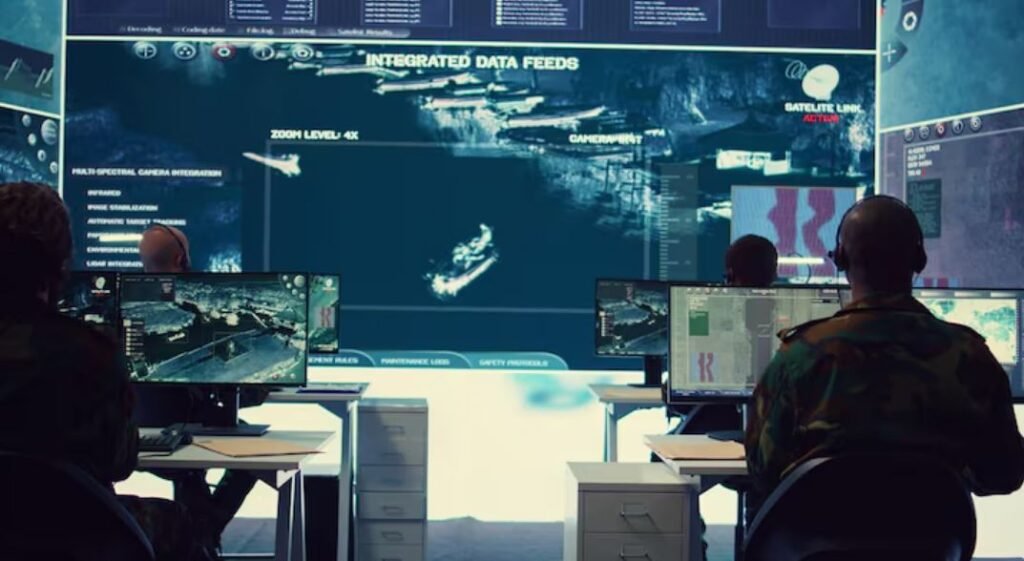
For example, in some areas, military satellites are able to track ocean surface conditions more precisely than civilian systems. For strategic purposes, they were constructed to keep an eye on shipping lanes and coastlines. However, the information they produce—water temperature gradients, surface anomalies, and circulation patterns—nearly perfectly matches what climate scientists need to comprehend marine heat waves, storm intensification, and sea level rise. It’s difficult to ignore the irony that the infrastructure designed to keep an eye out for adversaries has ended up witnessing changes in the ocean itself.
Researchers believe that this overlap has never been fully utilized, in part due to classification barriers and in part because defense and climate science have not historically spoken the same language. However, the urgency of that discussion is now growing. At the exact time when ocean data is most important, the civilian monitoring apparatus is contracting due to the dismantling of the OOI and staff reductions at NOAA. Off the Pacific coast, an El Niño event is developing. Unusually warm water is already being pushed toward California by marine heat waves. According to Ed Dever of Oregon State, “the most significant oceanographic signals” are found below the surface, so losing the ability to measure what’s happening there isn’t an abstract scientific concern. It has an impact on disaster response, fisheries management, and storm forecasting.
Military resources won’t adequately close that gap. Unlike OOI data, which has been freely shared with researchers, policymakers, and educators worldwide and fed more than 500 published scientific papers, the majority of defense data is not. It takes time to declassify. Political will, which isn’t always present, is necessary for institutional cooperation between defense and civilian science agencies. Furthermore, the vertical temperature profiles obtained from sensors anchored in deep water cannot be replaced by satellite data, whether military or not. Certain things are just not visible from space.
However, it’s important to listen to what the military actually knows. Forty-three percent of the 128 coastal military installations in the United States would be at risk from a sea level rise of about three feet. Because flooding, permafrost thawing, and extreme weather directly impair operational capacity, the Defense Department has been researching climate vulnerability for years—not out of idealism. Data has been produced by that self-interest. While the civilian monitoring network is being reduced, the question is whether it can be shared and whether anyone in Washington is willing to advocate for that cooperation.
Partners in Europe are already taking action. The Global Ocean Observing System, which the United States is currently partially withdrawing from, will receive more than half of the €92 million investment in OceanEye that the EU announced. Researchers in that network have stated unequivocally that the annual ocean heating rate estimates would become 163 percent more inaccurate if U.S. observations were eliminated. That is not a slight deterioration. That’s losing your compass in the middle of the journey.
During the Cold War, when the ocean was a battlefield, the U.S. military developed a large portion of its ocean surveillance capability. In some ways, it’s still that. However, it’s also something else now—a system under strain, evolving more quickly than the models anticipated, with ramifications that extend well beyond any installation or coastline. The infrastructure is in place. There is data. While civilian networks are being dismantled covertly, whether it is used for the science it could support is a question that probably needs more attention than it is currently receiving.
