

It’s interesting to see a government agency announce a big mission to explore the ocean and then talk about it as a business opportunity almost at the same time. That’s pretty much what happened this summer when NOAA announced a 28-day trip on the NOAA Ship Okeanos Explorer that would take place in deep water off the Cook Islands in the South Pacific. The mission includes real-time video streams, imaging of the seafloor, and sampling of the water column. It sounds like ocean science from a book. And it is, sort of.
The partnership with the Cook Islands is real and important. Officials say that the data will help with what they call “responsible management of marine resources” by the Cook Islands government. People will be able to watch ROV footage online, which will let them see deep-sea habitats in almost real time. Scientists on land will talk about what they see. That this has real scientific value is something that shouldn’t be thrown out.
But the mission’s main goal is not chosen at random. The Manihiki Plateau and the abyssal plains around it are where most of the work is done. These are known to have polymetallic nodules. These are groups of minerals about the size of potatoes that form on the seafloor over millions of years and contain high amounts of nickel, cobalt, and manganese. These three things are near the top of almost all lists of Washington’s most important minerals for the supply chain right now. People say that the timing is not a mistake.
The head of NOAA, Neil Jacobs, was clear about the mission’s dual nature. He said that the expedition would help “the economic growth of the United States and our partners” in a public statement. He also promised to “set the standard for responsible critical mineral management across the globe.” Words like “economic growth,” “critical minerals,” and “management” are not used by people who are just interested in science. It has to do with resource strategy.
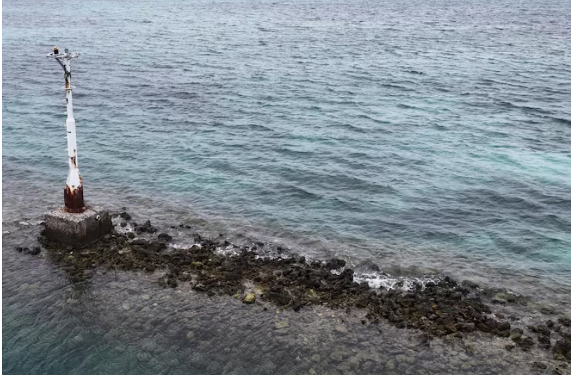
According to an executive order called “Unleashing America’s Offshore Minerals and Resources,” the expedition also moves forward an executive order that tells the US to make friends with other countries that want to develop seabed minerals in their own countries. The Cook Islands fit that framework perfectly because they are in water that is full of those nodules.
It is possible to believe two things at the same time. Deep-sea mapping really does collect useful information about the environment. And the same information is shared with a government agency called the Seabed Minerals Authority, not a marine sanctuary office. This information is used to directly decide if extraction is a good idea. The survey and the science dives are taking place on the same ship, with the same gear.
This event is more interesting to watch because of the example it sets than because of NOAA’s plan. One of the least understood places on Earth is still the deep ocean. There are whole ecosystems that live around those nodule fields. They are home to slow-moving, pressure-adapted animals that take decades to recover from even small disturbances. What happens after the Okeanos Explorer gets back to port determines whether a mapping trip leads to responsible restraint or a faster way to commercial surveys.
As I watch this happen, I have the impression that the science that is shown to the public is completely real, but the policy machinery that is working with it is moving in a different direction. That might not always be corruption. It could just be how governments work when there is a lot of competition for important materials. But it’s helpful to know which ship you’re looking at.
