

Off the coast of St. Croix, there is a wall that descends from a reef flat in roughly fifteen meters of water to a location that is unreachable by any diver who has ever gone down it. Coral species, fish groups, and the ecology of what scientists refer to as the mesophotic zone—the twilight band between recreational divers’ halt and the point at which light completely disappears—are all very well described in the higher sections. The wall extends below that. With specialized diving equipment, you may still follow it for a while. After that, it travels to a location that is only accessible by submersible, and the majority of submersible time in this area has been spent elsewhere.
In American territorial seas, the deep-sea environment near the U.S. Virgin Islands is one of the least well-documented. That statement is just true; it doesn’t need any specific drama to be true. Surveys in the area have been carried out by NOAA’s Ocean Exploration program, looking for mineral baseline data and biotechnology possibilities in deepwater ecosystems off Puerto Rico and the USVI. These surveys have yielded accurate results. They have also disclosed the amount that is still undiscovered. Below the limitations of recreational and technical diving, less than 1% of the deepest Caribbean bottom has been visually mapped or cataloged by submersible. These depths are depicted on bathymetric maps, which are sonar-derived depth contours that depict the seafloor’s shape but not its inhabitants.
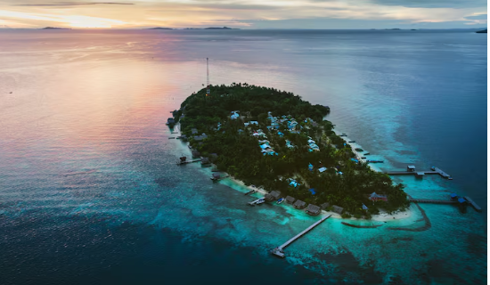
The region’s geological complexity is what makes this gap more noticeable. USVI waters are relatively near to the Puerto Rico Trench, which is the deepest point in the Atlantic Ocean at about 8,376 meters. A fragmented landscape of micro-habitats, including steep submerged ridges, ancient underwater landslide deposits, and drop-offs that drastically alter character over lengths of a few hundred meters, is created by the closeness of such great depth, according to oceanographers. At closer range, a habitat that appears homogeneous on a sonar map may really contain multiple separate communities, each of which is adapted to slightly varied current, pressure, and food supply circumstances. Just the topographic complexity indicates a significant potential for biodiversity.
Findings from the few dives that have penetrated deeper zones in this area support that theory. Specialized filter-feeding sponges that cling to vertical rock walls in ways that suggest extensive evolutionary isolation, deep-sea urchins with morphology distinct from known relatives, and what appear to be undiscovered species of sea stars have all been observed by researchers. Without tissue samples, genetic analysis, and comparative studies against existing collections, it is impossible to determine if these are truly new species awaiting formal description or known species at the boundary of their documented range. There is still some work to be done. A large portion of it is still awaiting unallocated submersible time.
It is important to be honest about the financial and logistical realities of deep-sea exploration. In addition to requiring specialist ships and people and costing far more than most natural history surveys, a single remotely controlled vehicle expedition that can reach depths below 1,000 meters generates comparatively little visual coverage per day of operation. Deep-sea regions throughout the world’s oceans, which likewise have unfilled documentation gaps, compete with the Caribbean for that submersible time. One argument in favor of the USVI waters is that they have a depth gradient that extends from reef flat to abyssal plain within relatively short horizontal distances due to their proximity to the Puerto Rico Trench. This means that a single expedition may be able to cover a wider ecological range than in places where the deep sea is just far away from everything shallower.
