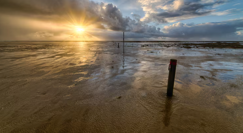
The northeast Pacific’s surface quietly did something it had never done before at some point in early September of last year. The average temperature of the water was about 69 degrees Fahrenheit, which sounds almost pleasant if you’re thinking of a swimming pool. However, it was almost half a degree warmer than any previous measurement recorded for that section of chilly ocean.
Since May of last year, NOAA has been monitoring the heatwave, which is known by the dry abbreviation NEP25A, which is only used by government scientists. When it peaked on September 10, 2025, it covered an area of about 10 million square kilometers, making it the largest marine heatwave ever observed in that area since monitoring started in 1982.
That was the moment that made headlines. The one that was compared to “The Blob,” the notorious warm-water event that occurred between 2014 and 2016 and disrupted marine ecosystems from Baja to Alaska. It is still discussed in fisheries circles in the same way that people in New York discuss Hurricane Sandy. Scientists briefly speculated that this one might be worse. It wasn’t. Not quite. Additionally, the explanation for why is more fascinating than the alarm itself.
For just about a month, NEP25A maintained that record-breaking size before it started to shrink, drift away from the coast, and lose energy throughout October and November, as these heatwaves typically do. By late fall, it appeared that the system would adhere to the well-known script. Anyone following it might have thought the worst was behind them. In contrast, the Blob pushed deep into the water column and remained at near-maximum size for almost a year, which contributed to the significant ecological harm it caused. NEP25A was brief at its height and broad but shallow. Reading the NOAA notes gives the impression that the researchers let out a small sigh.
Then December arrived. Rather than diminishing further, the heatwave intensified once more, this time encircling the coast and covering a significant area of the U.S. Exclusive Economic Zone off California in particular. At about 3 to 4 degrees above average, coastal surface temperatures rose to some of the warmest winter temperatures ever recorded. The Blob years themselves and the strongest El Niño on record, which occurred in 1997–1998, are the only comparable wintertime anomalies on record. The warm water hasn’t completely subsided as of this writing in mid-April. Patches off Oregon and northern California have been cooled by some upwelling, but the wind patterns haven’t really cooperated. The ocean is still experiencing a springtime fever that it shouldn’t.
The fact that the heatwave is accomplishing this without El Niño’s assistance is what makes it strange. According to NOAA’s classification, the Pacific is currently in ENSO-neutral territory, recently emerged from La Niña, and under “El Niño watch” for later in 2026. Therefore, the coastal warmth appears to be El Niño-shaped even though El Niño isn’t the cause. Only three times in history has a section of West Coast water remained this warm throughout the winter without the influence of that climate driver.
The ecological bill is still being calculated. Hazardous algal blooms, shellfish closures, sea lion strandings, and species moving north into waters they don’t typically visit have all been brought on by previous heatwaves. The NOAA oceanographer Andrew Leising, who oversees the California Current Marine Heatwave Tracker, has stated unequivocally that forecasting tools are only useful to a certain extent. That’s precisely what coastal fisheries managers are doing.
It’s difficult to ignore the pattern. Heatwaves in the eastern North Pacific have been among the biggest on record in six of the past seven years. What was once considered unusual is beginning to resemble the new configuration. Depending on what summer brings and whether people are still paying attention by then, NEP25A may or may not be remembered as the worst or just another addition to an already long list.