

Something very strange about a ship that doesn’t make it home very often stands out. Most ships come back on time, tie up at the dock, and get back to normal. The NOAA Ship Ronald H. Brown did something different. During a multiyear deployment that began in July 2013 in Charleston, the ship traveled nearly 130,000 miles of open ocean, going from Iceland to Antarctica and from Alaska to the deep Pacific. When it returned, it brought back scientific information that, in some cases, did not exist before.
That’s a big thing to say. Most of the Earth is covered by oceans, and a lot of what’s below the surface is still not well understood, measured consistently, or mapped at all. People who study have known this for a long time. It is expensive, hard to set up, and takes a long time to get reliable data from faraway oceans. One of the few things the scientific community has that can help close that gap is a ship like the Ronald H. Brown, which is 274 feet long and can hold up to 60 officers, crew, and scientists at once.
During its time at sea, the ship recovered, serviced, and set up more than 80 buoys that kept an eye on the weather and ocean conditions in the tropical ocean. Some of these buoys were directly connected to systems that were watching El Niño. It also took part in what NOAA called a “unprecedented multi-agency rapid response mission” during the strong El Niño event of 2015–2016, putting instruments in place and collecting real-time data at a time when scientists needed it the most. Putting up that kind of response takes a certain kind of institutional courage. It needs to be planned out, coordinated, and done by a group of people who are willing to work in conditions that most people would find uncomfortable on the best of days.
The work that was done to measure water tells a story in and of itself. Through the Atlantic and Pacific Oceans, the ship collected more than 1,600 samples of water. It did this by keeping track of the ocean’s physical properties at different depths and latitudes to see how it changes over time. One of the things that was being studied was ocean acidification, which happens slowly and unevenly in different parts of the world. Long-term changes that happen slowly don’t make the news very often, but they have big effects on marine ecosystems and the climate system as a whole.
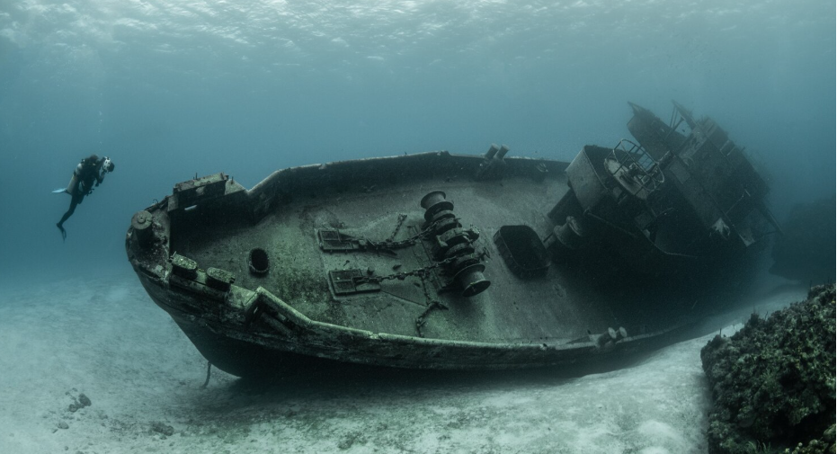
Then there is mapping the seafloor. So that a map of the U.S. Extended Continental Shelf could be made, the Ronald H. Brown surveyed 353,975 square miles of seafloor while it was out at sea. This included areas near Kingman Reef and Palmyra Atoll in the Pacific. This much seafloor mapping is very hard work. With sonar systems, the ship can make very clear pictures of underwater terrain that has probably never been seen before. This is the kind of work that seems vague until you think about what it makes: baselines. Points of reference. Every future study of those areas will start with these data.
Working in the water off of Alaska added a whole new layer. The ship did ecological studies of bays on Alaska’s North Slope and fisheries and oceanographic studies off the Arctic coast. Scientists are paying more attention to this area because conditions there are changing in ways that were hard to predict even ten years ago.
After the ship came back, Rear Admiral David A. Score, who is in charge of NOAA’s Office of Marine and Aviation Operations, gave the crew some praise and said that they had “expanded our understanding of some of nature’s most powerful forces.” This kind of statement sounds like it was made by a business. But based on what the ship actually did, it seems fair instead of exaggerated.
The Ronald H. Brown deployment stands out not because of a single discovery, but because of all of them put together. This large of an environmental data archive, gathered steadily and continuously over years and thousands of miles of ocean, is really hard to copy. It will take a long time for scientists to figure out what came back.
