Somewhere in a federal building tucked into the foothills of the American Rockies, hard drives keep arriving in the mail. They come from research vessels, naval ships, university fleets — anywhere a ship has dragged a sonar pulse across the water. Inside those drives are slivers of the ocean floor, slowly stitched together into one of the strangest maps the United States is trying to build. Most Americans have never heard of it. That’s part of why it matters.
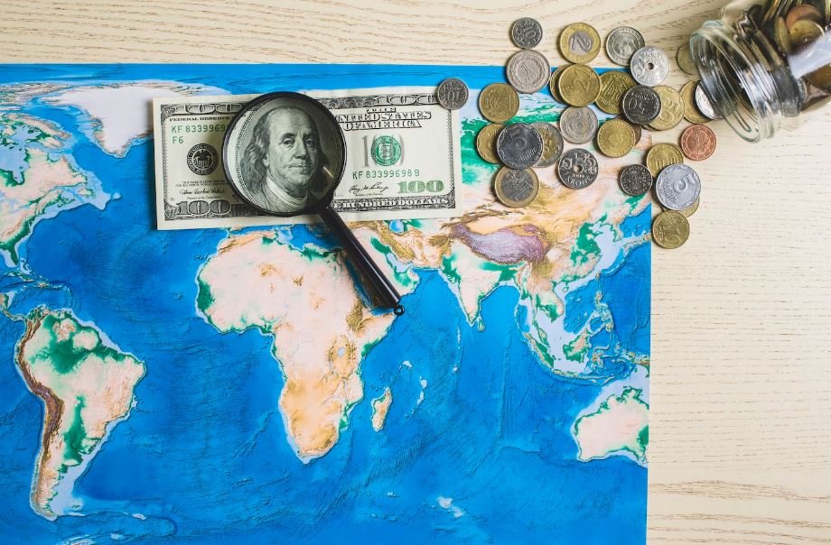
The federal government is now spending close to $400 million to accelerate the charting of the seabed inside U.S. waters and its broader strategic neighborhood, and the urgency has less to do with science than with who else is sniffing around. China has been mapping deep-water corridors with growing ambition. Russia keeps a quiet fleet of survey ships. Even smaller players — companies tied to the deep-sea mining boom — have started filing claims over patches of ocean that nobody has ever properly seen.
It’s possible to read this as an old story dressed in new equipment. Sea charts were never just navigational tools, as the historian Lloyd Brown once wrote; they were keys to empire. That instinct hasn’t aged out. It’s just moved underwater.
Only about a quarter of the global seafloor has been mapped to modern standards. A surprising amount of what exists relies on British surveys done in the 1950s and 60s, some still recorded in fathoms, some sketched during the colonial era. The American academic fleet remains the biggest contributor to the global Seabed 2030 effort, but the pace has slowed in recent years, drifting from a steep climb to a near plateau. Federal officials seem to have read the slowdown the same way investors read a flat earnings curve. Something has to give.
What’s really pushing the program forward isn’t cartography. It’s the layer underneath. Undersea cables now carry the bulk of global data traffic, and recent incidents in the Baltic and the Taiwan Strait have shown how easily that infrastructure can be cut. Pipelines run alongside them. Then there are the polymetallic nodules — golf-ball-sized lumps of cobalt, nickel, and rare earths scattered across the abyssal plain — that have suddenly turned into a flashpoint in the long argument over critical minerals. The Metals Company, the Vancouver-based firm trying to commercialize ocean mining, has been lobbying hard in Washington. The Trump administration’s executive order encouraging deep-sea mining in domestic and international waters didn’t come from nowhere.
There’s a quiet tension running through the whole effort. Mapping the seabed is, in theory, a public good. Seabed 2030 shares much of its data openly. But the moment a chart reveals a useful trench, a possible cable corridor, or a mineral-rich slope, that data tends to disappear into classified files. One marine geologist working in the South Pacific has said he was once asked by a foreign military — he wouldn’t name which — to destroy survey data because of its strategic value. Conversations like that happen more often than the public hears.
Watching this unfold, it’s hard not to notice how familiar the geometry feels. The Atlantic Charter, signed in 1941, talked about freedom of the seas as a moral promise. Eighty-five years on, that promise sits awkwardly beside a federal program quietly racing to map the floor of those same seas before someone else does.
Whether $400 million is enough is the question nobody in the field seems eager to answer. Ocean mapping is brutally expensive, and the U.S. isn’t alone in the water. There’s a sense, talking to people working on it, that this is a beginning rather than a finish line — a first real attempt to take seriously a part of the country no one has ever actually seen.