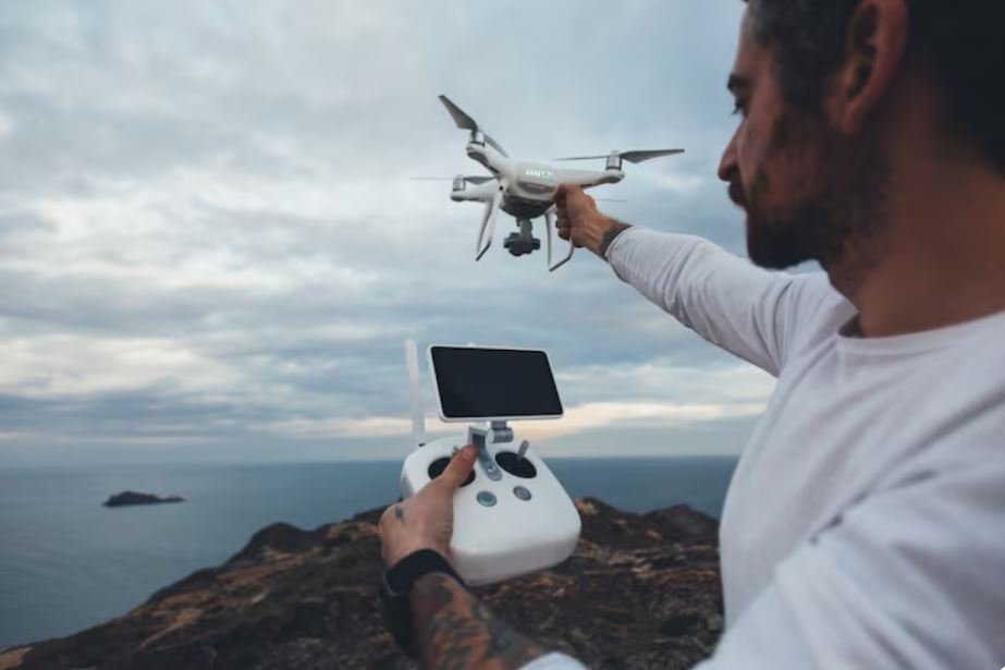
There has been a blind spot hovering just above the waves for the majority of the time meteorologists have been flying into hurricanes. Punching through the eyewall, hurricane hunter aircraft can collect data while in the air and transmit it back to Miami forecasters. However, the lowest few hundred feet above the ocean, where a storm truly determines its desired strength, has largely gone unmeasured. Skimming that close to the water is too risky for a P-3 Orion. That layer remained a mystery for decades.
That guess became somewhat less blind this year. NOAA’s operational Hurricane Analysis and Forecast System, or HAFS, incorporates data from a small drone called Black Swift Technologies’ S0, a flight system that weighs about as much as a bag of sugar. Uncrewed aircraft data is being directly incorporated into the agency’s hurricane model for the first time, and the preliminary results are difficult to discount: forecasts of hurricane intensity have improved by about 10% overall, and by up to 25% for tropical storms.
Such numbers typically take a long time to get through a federal agency. Improvements in forecasting typically happen gradually rather than suddenly. Therefore, witnessing a 25% jump connected to a gadget that essentially fits under an airline seat is almost shocking.
Mid-air, the S0 is released from a P-3 hurricane hunter, descending toward the ocean and leveling off at a height of 20 to 30 feet. That’s the marine boundary layer, a thin, turbulent layer of atmosphere where moisture and heat move from the sea to the sky, either feeding or starving a storm based on what’s going on below. The neighborhood is hostile. The only window into it is a screen back at NOAA’s Atlantic Oceanographic and Meteorological Laboratory, where wind shears sideways and waves spray upward.
The concept was first tested retrospectively by researchers at AOML and the Cooperative Institute for Marine and Atmospheric Studies, who ran HAFS simulations with and without the drone’s readings over ten storms from 2022 to 2025. It’s important to note that is a small sample. While ten storms are not insignificant, they are also not everything. Nevertheless, the pattern persisted long enough for the agency to transition from research to operations—a significant step for a forecasting system that deals with life-or-death evacuation calls.
In a public statement, Gus Alaka, the director of NOAA’s Hurricane Research Division, described the wind-error improvement as “huge.” Such enthusiasm could be interpreted as standard science-communication boosterism. However, there’s a feeling that researchers were genuinely surprised that a gadget this lightweight and disposable could make a significant impact on something as stubborn as intensity forecasting. Accurate track prediction has always outperformed intensity. Over the past 20 years, there has been a noticeable improvement in storm forecasting. It hasn’t gotten much better at predicting how powerful it will be when it arrives.
The choreography that goes into each flight is subtly amazing. Launched from a hurricane hunter, the drone flies through air that would destroy a small plane on its own and somehow provides forecasters with readings of pressure, temperature, humidity, and sea surface in almost real time. One S0 reportedly recorded video from inside an active hurricane for nearly two hours in 2025, which was a first for an aircraft of that size. It’s difficult to ignore how bizarre that picture is: a machine the size of a surfboard, operating alone above the waves, returning the precise data that crewed pilots have been unable to securely gather for decades.
It’s still unclear if this grows into something bigger, such as fleets of these devices that are regularly deployed and integrated into each storm season. Black Swift appears to be moving past innovation and toward something more akin to infrastructure because it has already tested multi-drone operations off a single P-3, controlling multiple aircraft from a single station. The findings, according to NOAA’s Sarah Ditchek, are not a final product but rather a starting point for improving flight strategies.
This is how hurricane forecasting has always improved: unevenly, piecemeal, through instruments that no one really notices until the results are in. The next piece could be the S0. Alternatively, it could be a good study that, once it encounters a hurricane season with different storms, conditions, and surprises, fails to fully generalize. In any case, this season—rather than the retrospective one—is the true test.