The mid-June weather in Fargo has an almost defiant quality. When you step outside expecting summer—steady warmth, long evenings, that certain golden light that makes the flatlands look almost cinematic—you are met with an 8-mile-per-hour northwest wind and a 30% chance of showers just as you had made the decision to leave the jacket at home. Every year, it takes place. And for some reason, it still surprises people every year.
At around 13 degrees Celsius in the early hours of June 18, Fargo is doing what it does best right now: keeping everyone guessing. With partly cloudy skies and a humidity level that is slightly higher than 87%, visibility is clear for ten miles. It sounds lovely on paper. In reality, there’s that uneasy feeling that arises from knowing what’s planned for the coming days.
With a high of almost 70 degrees Fahrenheit, a 10% chance of showers before eight in the morning, and partly sunny skies, Thursday looks to be manageable. It’s breezy in the afternoon, but it’s the kind of breeze that doesn’t really bother you when you sit outside on a porch. Before things become more intriguing, there is a period of calm. Because the forecast for Juneteenth, which falls on Friday, is truly loaded: showers in the morning, followed by a window of potential thunderstorms with gusts of up to 26 miles per hour from late morning into mid-afternoon. an 80% chance of precipitation. That is a near certainty, not a possibility. It would be prudent for anyone organizing outdoor events during the holiday weekend to include flexibility.
The contrast of what comes next is almost startling. The weather is expected to be mostly sunny on Saturday and Sunday, with highs in the mid-70s and light northeastern winds. Fargo’s weekend after a difficult winter and a gloomy spring. On days like those, the city seems to exhale, with people strolling along the Red River paths, the farmers market operating smoothly, and a certain ease returning to the streets. Even so, there is a footnote: as temperatures rise to 78 degrees on Sunday night, clouds return, and by Monday night, there is a 40 percent chance that showers and thunderstorms will return.
Looking farther out, the pattern repeats itself in that traditional Great Plains rhythm: warmth increases until midweek, at which point moisture pushes back in from the south, upsetting any stability that had just taken hold. Wednesday is practically a dry day by this week’s standards, with a potential high of about 80 degrees and a mere 20% chance of rain.
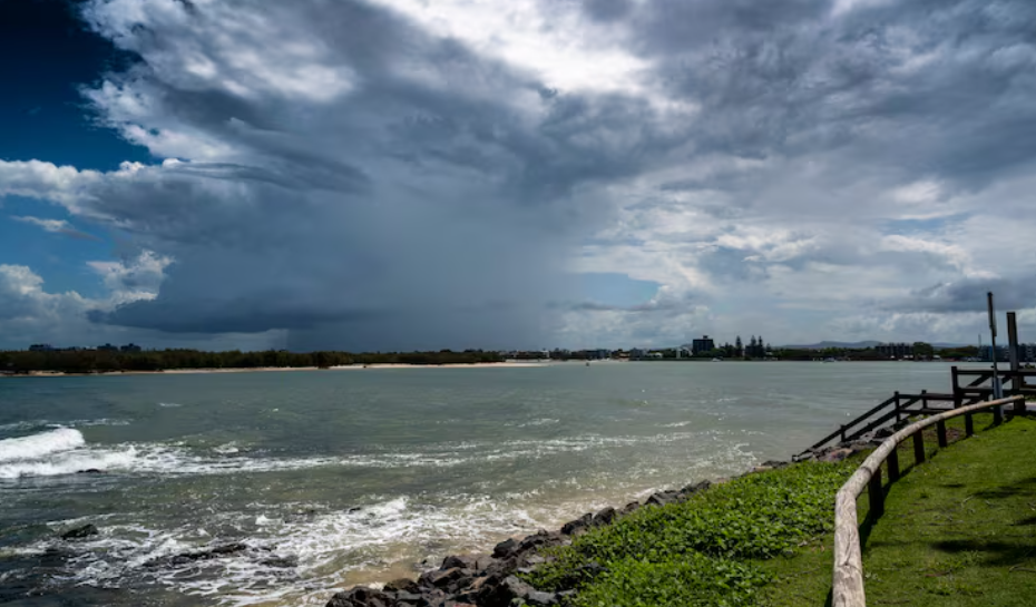
The speed at which the atmosphere changes over this region of North Dakota is difficult to ignore. The Red River Valley, where Fargo is located at an elevation of about 899 feet, is an open area with little resistance to whatever the upper atmosphere chooses to do. Here, systems operate quickly. Changes in pressure are felt rapidly. The 8 km/h northwest wind at 2:30 in the morning is a signal, the leading edge of a transition, not a decorative feature.
At the very least, the air quality is maintaining a fair rating. In the categories of trees, grass, ragweed, and mold, pollen counts are still low. Small favors, particularly for those who spend the stormy periods indoors watching radar refresh every few minutes, which is more people than you might think in June in Fargo.
Residents of Fargo usually accept whatever comes their way without much fuss. This place has always required a certain amount of casual resilience due to the weather. You adjust, you keep that jacket in the car just in case, and you double-check the forecast before you leave the house.