The fact that we know more about the surface of Mars than we do about the bottom of our own oceans is subtly amazing. This summer, a 28-day expedition aboard NOAA’s research vessel Okeanos Explorer is taking action to address this fact, which may sound like the kind of statistic someone says at a dinner party to sound intriguing.
Starting in July 2026, the Cook Islands Seabed Minerals Authority and NOAA Ocean Exploration will venture into deep Pacific waters that have simply never been thoroughly examined. not accurately mapped in the modern era. not included in the sample. not captured on camera in any significant manner. For a long time, the Manihiki Plateau and the surrounding abyssal plains were left alone because they were located in one of the world’s most isolated oceanic regions. Calculus is changing.
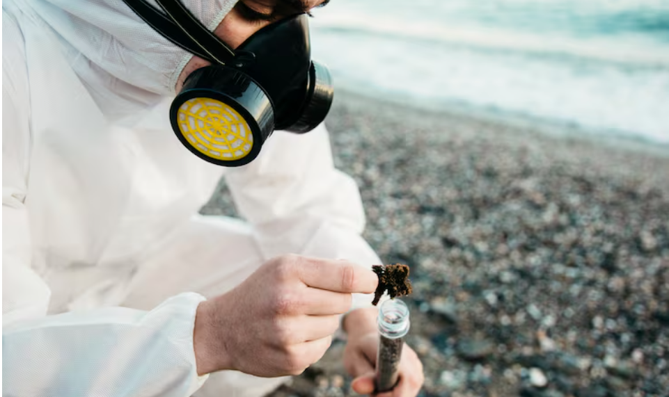
The expedition will investigate the seafloor and the water column above it using in situ sensors, sophisticated sonar mapping systems, and remotely operated vehicles. Polymetallic nodules, potato-shaped mineral formations that build up on the seafloor over millions of years and concentrate nickel, cobalt, manganese, and other elements that are increasingly important to the world’s clean-energy economy, are what scientists are searching for, at least in part. Observing this type of work pick up speed gives the impression that the deep ocean has rapidly transitioned from a scientific curiosity to a geopolitical interest.
In an overtly strategic statement, NOAA administrator Neil Jacobs stated that the project would “set the standard for responsible critical mineral management across the globe.” The words “responsible,” “standard-setting,” and “partnerships” are intentional. It’s difficult not to see this expedition as part of a broader discussion about who maps what, who benefits, and who gets to set the rules. The United States is not the only country interested in the Pacific seafloor. The policy context for all of this is provided by an executive order on offshore mineral resources that was signed earlier this year.
The dedication to transparency is what sets this expedition apart from a purely extractive endeavor, at least for the time being. The Cook Islands government will receive direct access to all data and samples gathered during the cruise. That is important. In the past, Pacific island nations have been the recipients of agreements that appeared to be partnerships but actually operated more like access agreements. It will be interesting to see if this partnership maintains a more equitable standard over time.
This mission is truly unique in that it is open to the public. Scientists will provide commentary in real time as footage from ROV dives—depths that most people would never see—is broadcast live. The idea of sitting in a living room somewhere and watching a robot camera glide past seafloor features that no human eye has ever seen before is strange and strangely moving. The abstract can seem more concrete with that kind of access.
The scientific team isn’t coming completely cold because this expedition builds on a 2025 trip to the same area on the Exploration Vessel Nautilus. However, the scope of what is still unknown here is still enormous. The deep Pacific is particularly difficult for the ocean to give up its geography. This summer, the Okeanos Explorer will discover more than anyone currently knows, whether it be unanticipated geological formations, undiscovered species, or mineral deposits that are larger or smaller than anticipated. That seems like a compelling enough reason to go, at least.