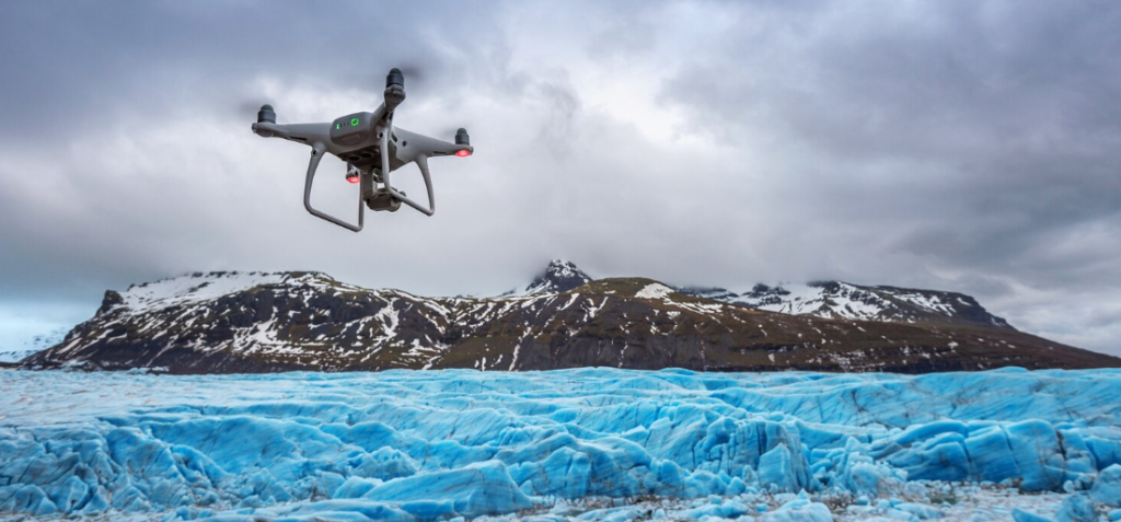
The ocean and sky cease to be distinct entities at some point during a category 4 hurricane. The surface is torn into spray by the wind. Waves rise to heights of thirty or forty feet. Humans don’t belong there. Nevertheless, something went there last summer: a small, wind-powered drone known as a Saildrone Explorer sailed straight into Hurricane Sam’s eye, sending live footage from a spot where no camera had ever been before. The footage was more than just dramatic; it was raw and churning. It was unprecedented in science.
That mission was not an accident. It resulted from a growing partnership between the National Oceanic and Atmospheric Administration and Saildrone, a marine technology company based in California. In what NOAA described as a storm-chasing operation, five unmanned surface vehicles were sent across the Atlantic. One of them withstood winds of up to 100 mph and returned data that scientists had only hypothesized. It’s difficult to ignore the magnitude of what that signifies—not merely a technological achievement, but a real change in the potential applications of ocean observation.
The operation grew this year. Five vehicles entered the Tropical Atlantic from Jacksonville and the US Virgin Islands, while two vehicles were launched into the Gulf of Mexico from Saildrone’s new Florida office in St. Petersburg and another from Port Aransas, Texas. Scientists at NOAA’s Pacific Marine Environmental Laboratory and Atlantic Oceanographic and Meteorological Laboratory have selected seven vehicles in total, dispersed throughout pre-selected zones. Air temperature, barometric pressure, wind speed, water salinity, and wave height are all transmitted in real time. Real-time, continuous, from locations that are difficult for research vessels to reach and where planes cannot stay.
Forecasters have struggled with this issue for decades, which is why it matters. Over time, there has been a real improvement in hurricane track prediction; the models are more accurate and the satellite coverage is better. However, it is still very challenging to predict rapid intensification, which occurs when a storm’s wind speeds increase by 35 mph or more in a single day. Storms can turn deadly during that window. The annual cost of hurricane damage in the US is approximately $54 billion, and a large amount of that expense can be attributed to storms that intensified more quickly than forecasts. One of the most difficult gaps to close has been the data gap at the ocean’s surface, directly at the boundary where warm water feeds energy into a developing storm.
According to Greg Foltz, a scientist at NOAA’s AOML, energy moves from the ocean to the hurricane at the air-sea interface, but the efficiency of that transfer is determined by conditions in the lower atmosphere and beneath the surface. Comprehending it necessitates simultaneous measurements from several platforms at once, involving multiple sensor types working together. Saildrones, underwater gliders, profiling floats, surface drifters, and Hurricane Hunter aircraft that drop instrumented systems from above make up one important layer of the architecture NOAA is constructing.
Richard Jenkins, CEO of Saildrone, pointed out that integrating seafloor mapping with real-time ocean data could enhance storm surge prediction, which frequently causes the most damage when a hurricane finally makes landfall, in addition to intensity forecasting. This is no longer an experiment, as evidenced by the opening of the company’s Florida office specifically to support this kind of regional mission. Infrastructure is what it is.
Watching this quietly take place gives me the impression that the ocean is finally being observed the way it deserves to be: continuously, persistently, from vehicles that don’t need sleep, fuel, or calm weather, rather than in snapshots from passing ships. Saildrone has now completed more than 18,000 days at sea and traveled 800,000 nautical miles through all of the world’s oceans. A living, breathing picture of ocean health, storm by storm, season by season, year by year, is what scientists have long desired, and it may eventually be produced by that accumulated experience feeding into NOAA’s forecasting systems in real time. It is still unclear if this will be sufficient to solve the rapid intensification problem. However, at least the data is beginning to come in.