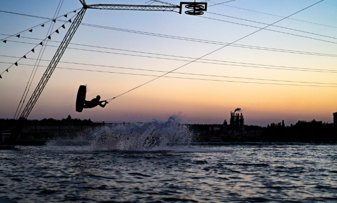
On a calm morning, you almost forget the sea has teeth when you stand on any section of the Coromandel Coast. The water is level. Boats used for fishing drift. In the same way that coastlines always do until they don’t, the whole thing feels gentle and permanent. What’s happening several kilometers below the surface, where temperature changes, pressure changes, and the signals that precede disaster move silently through the water column before anyone on shore has any idea, is what you can’t see and what no one standing there can see.
For decades, scientists have been working to close the gap between what the ocean is actually doing and what we know about it in real time. It hasn’t been resolved yet.
| Topic Overview: Ocean Digital Twin Technology for Tsunami Mitigation | Values |
|---|---|
| Core Technology | Digital Twin (DT) — virtual, real-time models of physical ocean systems |
| Primary Application | Tsunami forecasting, coastal disaster preparedness, and response planning |
| Key Institutions Involved | UNDRR, UNESCO, University of Trieste, SOCIB, SIAM |
| Sensor Types Used | Water temperature gauges, salinity sensors, tide monitors, seismic detectors, ocean buoys |
| AI Methods Deployed | CosLU-VS-LSTM anomaly detection, EHC-ANFIS decision-making systems |
| Reference Coastline | Coromandel Coast, southeastern Indian subcontinent |
| Historical Trigger Events | 2004 Indian Ocean tsunami, 2011 Tōhoku earthquake and tsunami |
| Current Limitations | Data interoperability gaps, computational load, multi-agency coordination failures |
| Data Security Method | Twisted Koblitz Curve Cryptography (TKCC) |
| Publication Reference | npj Natural Hazards, Vol. 3, Article 34, 2026 — Ma et al. |
More than 200,000 people perished in the 2004 Indian Ocean tsunami. Nearly 20,000 more people perished in the 2011 Tōhoku tragedy, which also destroyed entire Japanese cities. In hindsight, there were discernible signals from both incidents. Both arrived before warning systems could react in a useful way. For a generation, tsunami science has been defined by this pattern: disaster, review, incremental improvement, repeat. However, given the direction the research is taking, there’s a feeling that something truly different could be possible.
What researchers refer to as a “Digital Twin of the Ocean” is a concept that is gaining significant attention. It is a continuously updated virtual replica of an actual marine environment that is fed by networks of underwater sensors and processed by AI systems that can identify anomalies before they become emergencies. The concept is not novel. For many years, digital twins have been utilized in industrial manufacturing and aerospace. The goal of applying the same reasoning to something as vast, erratic, and physics-heavy as the ocean itself is novel.
In tsunami contexts, a digital twin goes beyond offline hazard mapping by coupling live observations, forecasting models, and decision processes in a way that traditional systems just don’t, according to a recent paper published in npj Natural Hazards. That’s the theory. It’s a much messier practice. Security flaws, data transmission delays, and degradation are issues that underwater sensor networks must deal with. It is extremely difficult to integrate seismic data, oceanographic readings, and socioeconomic variables into a single, cohesive simulation model.
One potential technical route is provided by research from the University of Trieste and researchers keeping an eye on the Coromandel Coast. When you list their framework, it sounds almost bureaucratically complex: dense underwater sensor arrays relay data to a digital twin model, which is then processed through machine learning classifiers, compressed for efficient transmission, and encrypted using cutting-edge cryptographic techniques. However, the underlying reasoning is straightforward: improve data, transfer it more quickly, and let intelligent systems determine what constitutes a warning signal before a human analyst has a chance to access a dashboard.
The biggest challenge here might not be technical in nature. Perhaps governance is more difficult than physics. Governments and agencies must trust one another with sensitive infrastructure data in order to use multinational sensor networks, shared data platforms, and coordinated alert systems. This hasn’t always been easy. The scientists who are researching this area are open about it. The cautious academic way of saying that the political aspect of this is complex is that data interoperability, computational demands, and governance continue to be major obstacles.
There is real momentum, though. A digital twin component for tsunamis is being funded by the EU as part of a larger geohazard monitoring program. UNESCO has been using digital twin inputs to simulate disasters. A closed-loop forecast system, in which the virtual model and real-world sensor data continuously correct each other as an event occurs, is being pursued by a real-time Bayesian inference framework published by the Society for Industrial and Applied Mathematics.
It’s difficult to ignore the fact that the majority of this field’s urgency arises after tragedy rather than before. The uncomfortable pattern is that. When there is a catastrophe to point to, progress picks up speed. The hope is that digital twin technology will eventually provide coastal communities with a tool that stays ahead of the ocean rather than catching up to it after the wave has already broken. At this point, it does feel more like hope than certainty.